• Home
  • About
    • UDENE Project
    • Granting Authority
    • Who is who?
    • Partners
  • Tools & Services
    • Exploration Tool
    • Matchmaking Tool
  • Use Cases
    • Türkiye
    • Tunisia
    • Serbia
  • News & Events
  • Publications
  • Open (FSTP) calls
  • Contact

UN Maps Conference 2024: Harnessing Geospatial Data for Global Peacebuilding and Humanitarian Efforts

Posted on 06/24/2024

The mission of UN Maps is to harness the power of open geospatial data to support UN peacebuilding and humanitarian efforts. This entails providing precise, up-to-date maps, geospatial services, and geographic information to UN Peacekeeping Missions, UN Agencies, Funds and Programmes, humanitarian actors, and other stakeholders operating in conflict-affected areas. By improving situational awareness, UN Maps helps enhance peacebuilding, humanitarian response, and disaster management efforts.

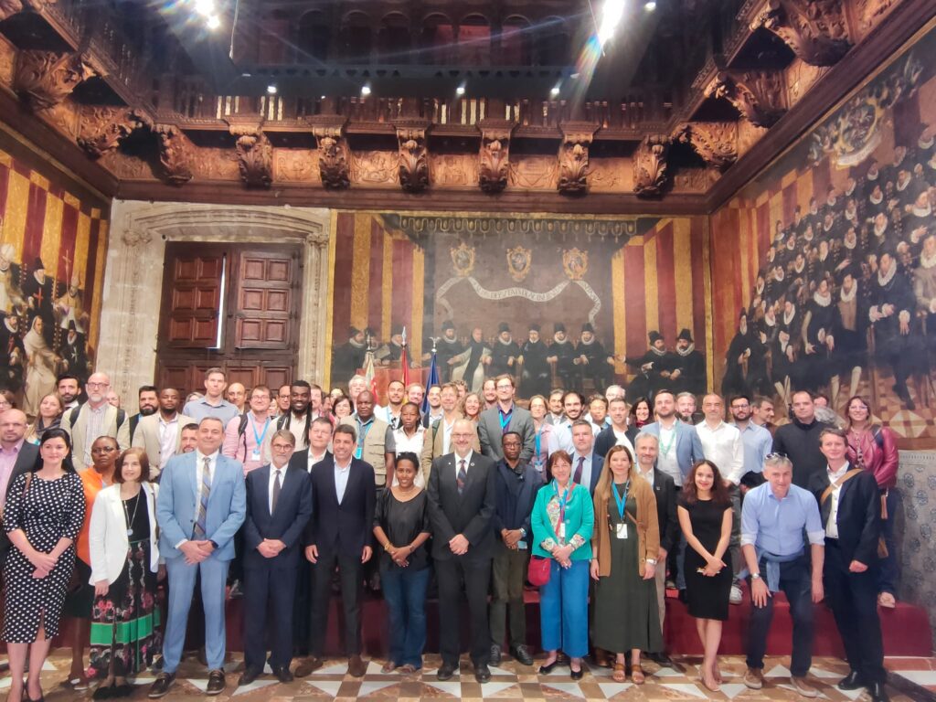
The UN Maps Conference is an annual event organized by the United Nations, aimed at strengthening coordination, collaboration, and the capacity of geospatial information to meet global challenges. The conference provides a platform for participants to reflect on how geospatial data and services can help address issues such as climate change, food insecurity, and access to care and education, ensuring peace and justice for all countries.

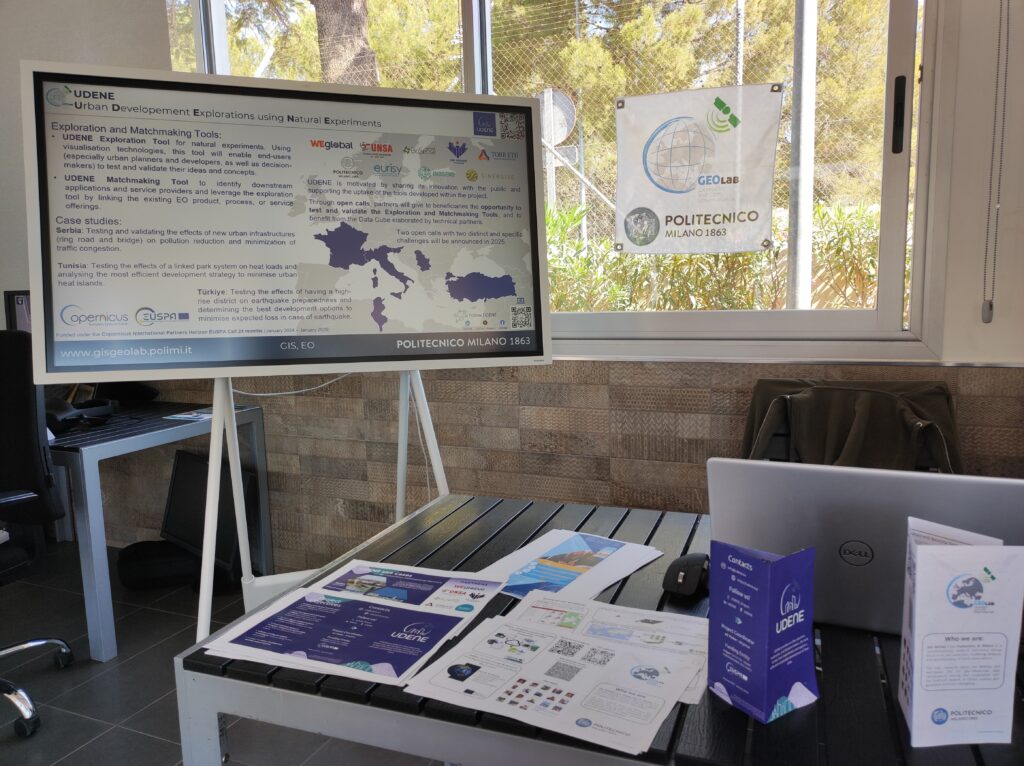
The 3rd annual UN Maps Conference in 2024 took place in Valencia. During the Tech Fair, GIS-GEOLab, from Politecnico di Milano, had a booth presenting the projects in which we are currently involved, including the UDENE project. This conference was an invaluable opportunity for participants to share insights and innovations, demonstrating the critical role of geospatial data in tackling some of the world’s most pressing challenges.

For more information about the conference and UN Maps, visit UN Maps and the 2024 UN Maps Conference.

Post Views: 518
Previous Post
Smart City Expo World Congress 2024
Next Post
UDENE Project Team Gathers in Prague on 28 June for Strategic Discussions

Recent Posts

  • UDENE: from Vision to Action December 24, 2025
  • UDENE Introduced at the Horizons of Innovation Forum 2025 December 11, 2025
  • Students Explore Earth Observation at Özyeğin University Workshop December 11, 2025
  • UDENE Presented at ICAA 2025 in Manchester December 11, 2025
  • UDENE Contribution Wins Best Paper Award at MedGU-25 December 11, 2025

Categories

  • Events (12)
  • News (22)
  • Uncategorized (1)

UDENE PROJECT

The UDENE Project aims to use large amounts of Earth Observation (EO) data from Copernicus satellites and local sources to support evidence-based decision making for urban development, especially in international partner countries. To support the UN Sustainable Development Goal 11 of making cities safe, resilient, and sustainable, the project will essentially create a virtual laboratory for urban planners and visionaries to test their development ideas.

Recent Posts

UDENE Contribution Wins Best Paper Award at MedGU-25
Exposing UDENE Supported Third-Parties
UDENE Open Call #2 Reopens for Serbia and Tunisia – Apply by 31 October 2025

Contacts

info@udene.eu

Social Media

Facebook
Twitter
LinkedIn
Instagram
YouTube

Visitor Count: 10,675

© UDENE Project 2025