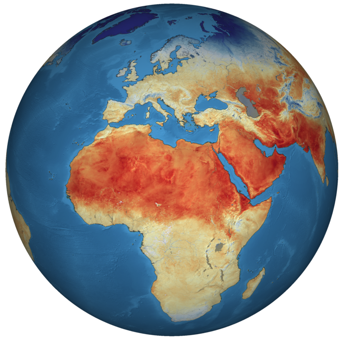
The Copernicus program is anticipated to deliver significant strategic, social, and economic benefits to the European Union (EU). According to the latest EU report on the Earth Observation (EO) data market, in 2019, Copernicus provided approximately 150 terabytes of data daily. The value of Copernicus data is realized when it is applied across various thematic sectors, meeting specific public or commercial needs, and generating new opportunities for society and the economy. Developed under Horizon 2020, Copernicus services and datasets aim to support the implementation of GEOSS for specific applications or regions. IPCs face several needs and challenges related to EO data and the Copernicus program. [1,2]

The Needs: Access to High-Resolution EO Data is essential for environmental monitoring, agricultural management, and urban planning. Countries need data to track environmental changes, manage natural resources, and plan urban infrastructure effectively. Furthermore, developing technical expertise through capacity building and trainings is crucial. This includes training on the use of EO data, software, and technology, as well as skills to analyse and interpret the data accurately. Another need for IPCs is development of infrastructure. Adequate facilities for data storage and processing are needed, along with reliable internet connectivity to access and share EO data efficiently. Finally, IPCs require customisation or tailoring of solutions to specific needs, leading to better uptake and use of Copernicus applications and data. There is a need for localized EO solutions tailored to specific regional challenges, such as climate change impact assessments and resource management. [1,3]
The Challenges: Various policy and legal barriers can hinder data accessibility and sharing. Additionally, technical barriers, such as limited bandwidth, can make accessing and downloading large datasets difficult. Financial and resources restraints can limit the acquisition of EO data and related technologies. Moreover, there is often a shortage of skilled personnel to manage and utilize EO data effectively. Many countries struggle with outdated equipment and lack access to the latest tools and software. Integration of EO data with existing systems and workflows also presents challenges. IPCs often rely on short-term projects rather than sustainable, long-term strategies. Additionally, a lack of robust policies and governmental support can impede the effective use of EO data. Furthermore, ensuring the accuracy and reliability of EO data is critical. Standardisation of validation technique and processes is necessary to verify EO data against ground-truth observations. And finally, increasing awareness among stakeholders about the benefits and applications of EO data is essential. Educational initiatives that incorporate EO data usage and analysis into curricula can also help. [1,4,5]
Addressing these needs and challenges requires collaborative efforts between IPCs, governments, and organisations such as Copernicus. Enhancing the utilization of EO data can significantly contribute to sustainable development and societal benefits. By improving data accessibility, building capacity, developing infrastructure, providing customized solutions, securing funding, bridging technological gaps, ensuring data quality, and raising awareness, countries can better harness the power of EO data for their specific needs.
© contains modified Copernicus Sentinel data (2019), processed by ESA, CC BY-SA 3.0 IGO
Acknowledgments
This article was written as part of the dissemination and communication activities under the UDENE project. The project has received funding from the European Commission’s Horizon Europe 2023 Research and Innovation Programme under grant agreement #101131190.
Disclaimer
Funded by the European Union. Views and opinions expressed are however those of the author(s) only and do not necessarily reflect those of the European Union or the European Union Agency for the Space Programme (EUSPA). Neither the European Union nor the granting authority can be held responsible for them.”
References
[1] L. Apicella, M. De Martino, A. Quarati, 2022, ISPRS Int. J. Geo-Inf., 11, 121. https://doi.org/10.3390/ijgi11020121
[2] Observer: Synergies between Copernicus and GEOs (accessed 22/07/2027)
[3] PWC. Copernicus Ex-Ante Benefits Assessment, Final Report 2017 (accessed on 22/07/2024).
[4] V. Masson et al. 2020, City-descriptive input data for urban climate models: Model requirements, data sources and challenges. Urban Climate, 31, 100536. https://doi.org/10.1016/j.uclim.2019.100536
[5] D. Zhou et al. 2019, Satellite Remote Sensing of Surface Urban Heat Islands: Progress, Challenges, and Perspectives. Remote Sens. 11, 48. https://doi.org/10.3390/rs11010048