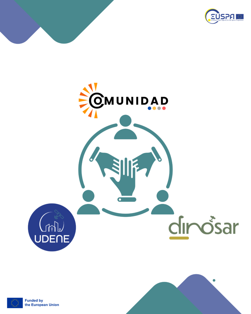
The UDENE project is excited to announce a collaboration with two other EU-funded initiatives, DINOSAR and COMUNIDAD. This partnership aims to enhance the impact of Copernicus Earth Observation data across urban planning, agriculture, forestry, and rural development.
A Shared Vision for Earth Observation
Each of these projects brings a unique expertise to the table:
- UDENE (Urban Development Explorations using Natural Experiments) focuses on using Copernicus data as a virtual laboratory for urban planners to test and optimize development strategies. By analyzing natural experiments, UDENE enables decision-makers to make informed choices for urban transformation.
- COMUNIDAD (Combined Use of EGNSS and Copernicus Data to Develop Innovative Downstream Services for Users in Chile and Colombia) specializes in tailoring Copernicus and EGNSS data for forestry and rural development applications. By working with stakeholders in Latin America, COMUNIDAD ensures that satellite data serves real-world needs.
- DINOSAR develops Copernicus-based algorithms to support smart farming, ensuring precise and sustainable agricultural practices. By enhancing resource efficiency, the project helps farmers reduce their environmental footprint. A key focus is optimizing sugarcane cultivation in Colombia.
Collaboration for Greater Impact
By building this synergy, these projects will:
- Share methodologies and technological advancements to enhance Copernicus applications.
- Develop integrated solutions that bridge urban and rural challenges using Earth Observation data.
- Expand the reach of EU space technologies beyond Europe, strengthening global sustainable development efforts.
This collaboration sets the stage for innovative solutions in evidence-based decision-making, ensuring that Earth Observation data is not only accessible but also effectively applied to tackle pressing environmental and societal issues worldwide.
Stay tuned for more updates on this exciting partnership!