Deep Learning and Geospatial Analytics for Resilient Cities
The SPIE – International Society for Optics and Photonics Conference was attended in Yokohama, Japan, resulting in a scientifically and personally significant experience for UDENE researchers. The conference provided a platform for sharing cutting-edge research in optics, photonics, and geospatial technologies applied to urban resilience.
Urban Seismic Risk Assessment Presented
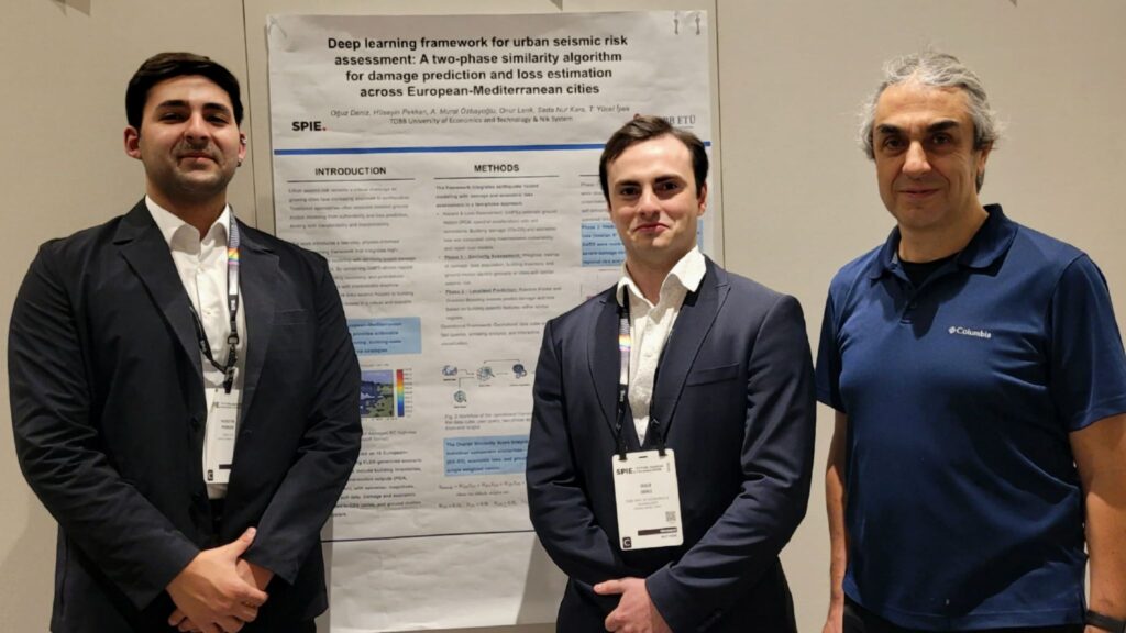
On 12 November 2025, during the 16:40–17:00 JST session, an oral presentation by Hüseyin Pekkan was delivered on the work titled:
“Deep learning framework for urban seismic risk assessment: a two-phase similarity algorithm for damage prediction and loss estimation across European–Mediterranean cities.”
This study, developed within the UDENE project with support from NIK System, was authored by Hüseyin Pekkan, Oğuz Deniz, Murat Özbayoğlu, Onur Lenk, Seda Kara, and Tacettin Yücel İpek. In this research, earthquake hazard and loss modelling were combined with a similarity-based learning approach to better understand potential damage and economic loss across different cities.
Urban Heat Island Mitigation Study Highlighted
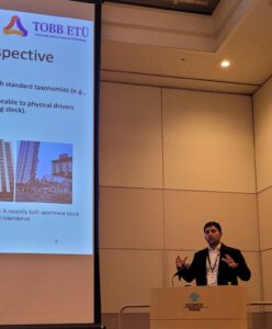
Also on 12 November 2025, during the 11:50–12:10 JST session, the joint work titled:
“From spectral indices to actionable insights: sensitivity analysis of a multispectral U-Net for spatially-optimized urban heat island mitigation”
was presented by co-author Oğuz Deniz. Authored by Oğuz Deniz, Hüseyin Pekkan, and Murat Özbayoğlu, the study focuses on applying deep learning to satellite-derived spectral indices to support urban heat island mitigation and the planning of green and blue infrastructure.
Advancing Resilient and Liveable Cities
Both studies are part of the broader UDENE effort, which integrates Earth observation, deep learning, and geospatial analytics to enhance urban resilience and livability.
Sincere appreciation was expressed to Prof. Dr. Ahmet Murat Özbayoğlu for his continuous guidance and support, as well as to all co-authors and project collaborators.