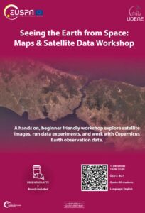
Using Satellite Data to Understand Urban and Environmental Change
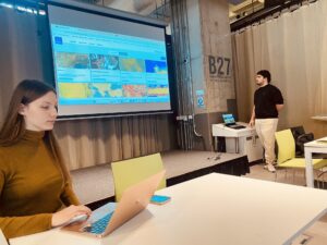
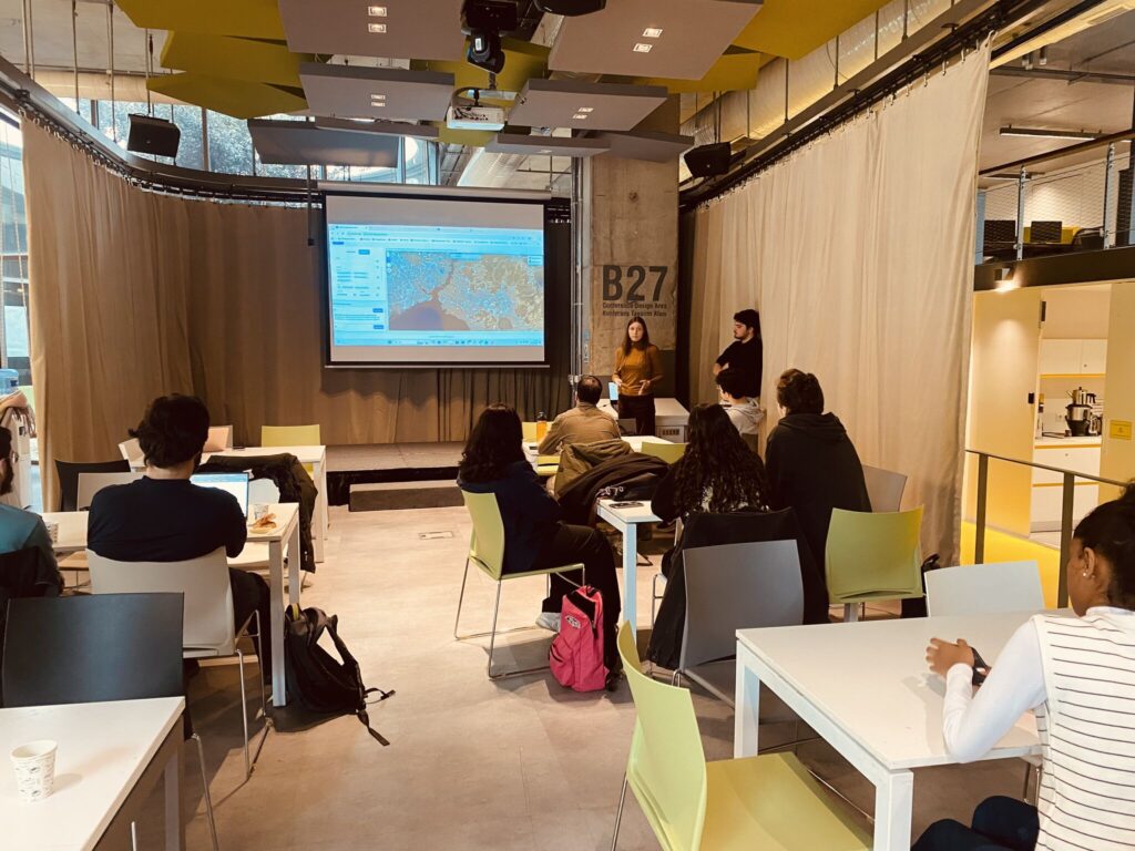
A “Seeing the Earth from Space” workshop was held at Özyeğin University on 11 December 2025, where students had the opportunity to explore how satellite data can be used to understand real urban and environmental dynamics. Using Copernicus Earth Observation datasets, participants engaged in hands-on experiments covering themes such as earthquakes, traffic patterns, and land-use change.
Hands-On Learning Through the UDENE Project
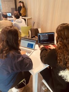
As part of the EU-supported UDENE Project, the workshop introduced students to applied spatial reasoning, data literacy, and simplified natural experiments. Real Earth Observation imagery was used to test hypotheses and demonstrate how satellite data can support evidence-based urban planning and decision-making.
Encouraging Curiosity and Innovation
The workshop created an interactive learning environment where students were encouraged to explore, question, and apply geospatial concepts to real-world challenges. Appreciation was expressed to all participants for their enthusiasm, curiosity, and active engagement throughout the session.